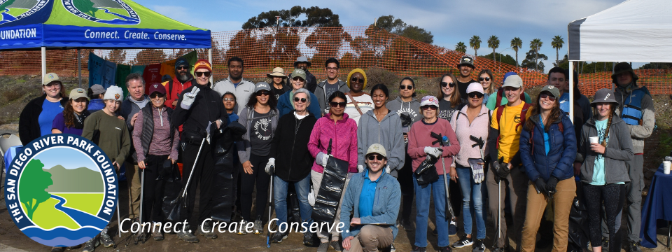
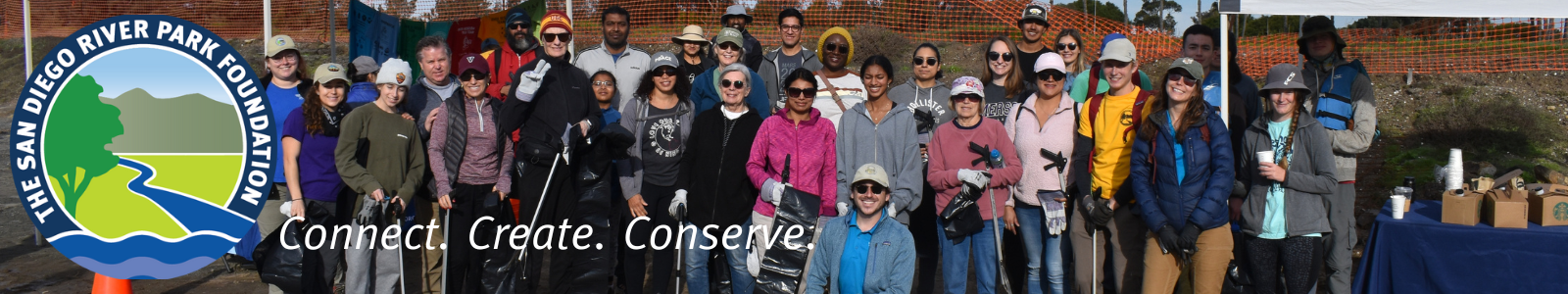

Who We Are
Explore and protect the unique ecosystems and the species that call the San Diego River home through our dynamic Research Program! Participate in water quality monitoring, bat walks, wildlife camera research, BioBlitz events, badger surveys, and much more. These hands-on activities help us understand and preserve the diverse wildlife and habitats along the San Diego River. Join us and contribute to important research that supports the health of this vital natural resource!
What We Do
Water Quality Monitoring: The RiverWatch Team is a community science group that conducts monthly monitoring to assess the health of the San Diego River. Teams meet on Thursday and Friday mornings to monitor 16 different sample locations. If you are interested in learning more about the health of the river and the requirements to join the RiverWatch Team, please contact the RiverWatch Coordinator at (619) 297-7380 or by email at volunteer@sandiegoriver.org.
Wildlife Camera: The San Diego River Park Foundation's Remote Wildlife Camera program, also known as 'Critter Cam,' utilizes camera traps as part of a research initiative to document wildlife and their movements across our protected preserves. This long-term research program plays a crucial role in understanding how wildlife responds to various anthropogenic factors, such as habitat fragmentation, human activity, and environmental changes. By gathering valuable data on local wildlife populations, we can better inform conservation efforts and protect the biodiversity of our natural areas.
Bat Walks: There are over 20 bat species in San Diego County, five of which are at risk. At least 16 species can be found in the San Diego River Watershed. The San Diego River Park Foundation is raising awareness about these amazing critters, which are so important to the river's ecosystem. We have documented bats at many places along the San Diego River and its tributaries. We host educational bat walks each month, starting in May through October, from Mission Valley to Julian and Descanso. Please note that since we see less bat activity in the cooler months, we may not hold events until spring when it gets warmer.
BioBlitz: Learn how to collect essential species information by documenting plants and animals using the iNaturalist app on your smartphone. Your data collection will make a big difference by contributing to local and statewide conservation efforts! These events correspond with many state and global biodiversity days, including Biodiversity Day and City Nature Challenge.
Headwaters Assessments: These are annual surveys in which volunteers go out to explore the headwaters of the San Diego River and collect data for our organization and other landowners. The San Diego River’s headwaters is a vast area with dozens of small streams that flow together to form the 52-mile San Diego River, which drains into the Pacific Ocean. Volunteers observe things such as threatened and endangered species, hydromodifications, non-native invasive species, and more. These observations are compiled into a map that helps us move forward with our management plan!
Badger Assessments: The San Diego River Park Foundation conducts an annual survey in which volunteers visit our preserves and document the presence or absence of American badgers (Taxidea taxus). The American badger is a mid-sized predator and a unique and iconic mammal that may act as an umbrella species for a large suite of animal species occupying upland habitats in San Diego County. Due to their very large home ranges, information on how badgers use and navigate the landscape can help evaluate how interconnected conserved lands are preserving San Diego's unique biodiversity. Their large home ranges, low densities, and low fecundity make them particularly vulnerable to habitat fragmentation and road mortality. The American badger is a covered species under the San Diego Multiple Species Conservation Plan (MSCP) and has been identified by the San Diego Monitoring and Management Program (SDMMP) Connectivity Monitoring Strategic Plan as a target species for monitoring regional-scale functional connectivity of upland and grassland habitats. It is considered to be at risk of loss from the SDMMP Management Strategic Plan Area (MSPA).
Details
| (619) 297-7380 | |
| nikki@sandiegoriver.org | |
| Nikki Mercer | |
| Coordinator - Research & Restoration | |
| https://www.sandiegoriver.org/ |