Join us for this amazing backcountry adventure as we explore the beauty of the San Diego River's headwaters and collect important conservation data!
Do not miss this once-a-year opportunity that is truly one of the most unique and beautiful hikes you will take in San Diego.
Our Headwaters Assessment is an annual event during which volunteers survey the headwaters of the San Diego River to gather data that informs land management decisions in the watershed. This assessment involves strenuous backcountry hiking through pristine wilderness, encompassing varied rough terrain and requiring bushwhacking. The San Diego River's headwaters comprise dozens of small streams that converge to form the 52-mile-long San Diego River.
Volunteers observe threatened and endangered species, hydromodifications, non-native invasive species, and more. We also collect eDNA samples on each of the sections we survey, which will be used to identify fish species, such as rainbow trout!
Similar to last year, our focus is on documenting the Southwestern pond turtle (Actinemys pallida), an endemic freshwater turtle in central and southern California. Its population is rapidly declining due to illegal capturing and collection, as well as threats posed by non-native species. The California Department of Fish and Wildlife has classified this species as a 'Species of Special Concern.' Knowledge of the turtle's locations will aid in our management plan to protect them.
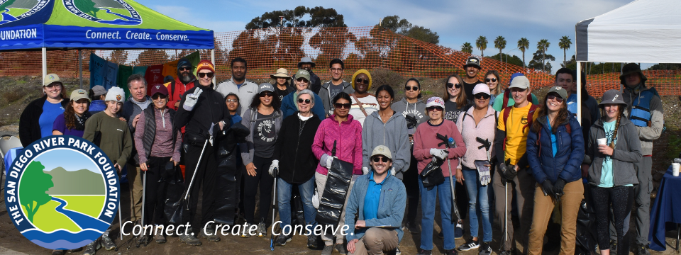
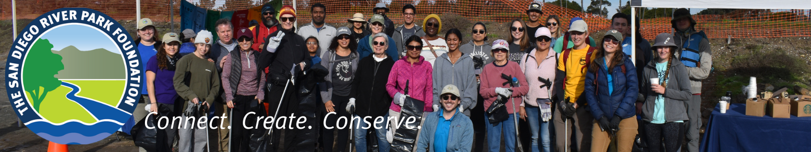
Join us to take action for the San Diego River and its wildlife!
Location: The segments we will monitor are still being determined. The general meeting location will be near Three Sisters Trailhead and Cedar Creek Trailhead in the Santa Ysabel/Julian area. Once the stream segments and leaders are determined, we will provide more detailed information.
About the Hike: This event entails moderate to potentially strenuous hiking. Many of the streams and tributaries in the San Diego headwaters are unexplored, and the terrain can be challenging, uneven, and unfamiliar.
What to Bring: Hiking will involve a mix of on-trail hiking and bushwhacking. Please wear a hat and sunscreen, long sleeves, long pants, and sturdy closed-toed shoes. Additionally, bring plenty of drinking water and snacks.
Training: There will be a mandatory virtual training session on April 2nd (Please RSVP here!), during which volunteers will learn about the survey's general aspects and the river segments they will survey. It will be recorded, so if you can't make the live session, you are required to watch the recorded presentation. Additionally, a highly encouraged in-person training session will take place on April 4th at Mast Park (Please RSVP here!), providing hands-on training on recording observations using handheld GPS devices, etc.
If you are unable to attend either training session due to scheduling conflicts, we have a recorded virtual training available. Follow this [link] for the recording and the presentation from last year.